Enhancing diversity, conducting drone research: welcome to Corey Garza
Welcoming the newest SAFS Professor and Associate Dean for Diversity, Equity and Inclusion for the College of the Environment, we spoke with Corey Garza. He shares his plans to enhance College diversity, what he’s most excited about by joining SAFS, and insight into his world of research using drones.
What plans do you have for Diversity, Equity and Inclusion (DEI) as Associate Dean?
I’m excited to build on my past experiences in my career which have focused on student participation to increase diversity, equity and inclusion. Being in this leadership position, especially with its focus on DEI, will present the opportunity for me to build on past diversity programs and work with faculty and the wider community to help deepen understanding the diversity of people and experiences. I’m particularly excited about this at a larger scale with all of the different schools and departments that exist within the UW College of the Environment.
This position within UW offers the chance to really scale up these efforts. UW is known at both a national and international level, and this really attracted me to the role in that it provides this scaling up opportunity and the chance to develop a template for how to increase diversity at the national level.
What will your role as a SAFS Professor entail?
Part of my role as a SAFS Professor will be a mentor to graduate students, which is a fantastic opportunity as this is one of the top fisheries programs in the US. SAFS also has a really well-known group of scientists in aquatic and marine systems, spanning both basic and applied science, and the chance to join this collaborative group which is known even beyond the US is a big appeal.
SAFS is also a place open to innovation. This innovation is especially relevant to my drone program which I bring with me from my previous university. I’m hoping to elevate the research I’m doing with this group, in a place where I can use my research to interface with other people – freshwater, fisheries, marine, coastal. How to use drone technologies more collaboratively across disciplines and different research questions is an exciting challenge.
I’m also looking forward to finding out how different community groups can benefit from the technologies I work with – SAFS already works so well in various communities, and I’m eager to be a part of this.
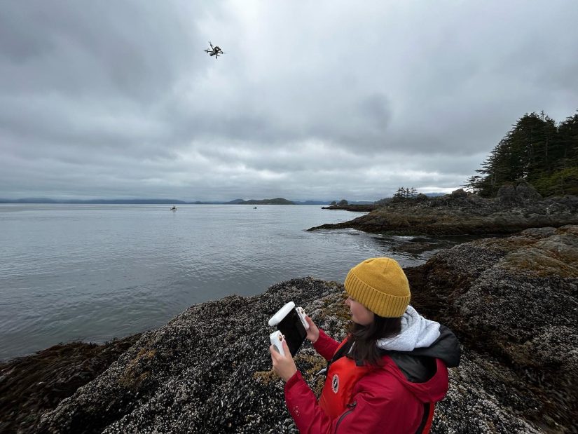
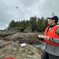
Your work with drones is fascinating. How did that start?
My research has been focused on patterns and processes in rocky intertidal areas and tidepool communities, and I started to think about these systems more broadly in these marine communities. At the time, the scales of patterns such as in mussel bed shifts, were bigger than the tools we had the capacity to keep up with. In the pre-drone era, we used digital cameras, and even used to set them up on rigs to get aerial shots. We’d then use GIS to take all the photos and do analyses. As work progressed, I got interested in spatial processes and the physical structure of the landscapes, and how the complexity in marine systems was linked to different patterns.
A decade ago in the early 2000s, drones started to appear on the scene and by seven to eight years ago, they’d become more reliable as a research technology. I had a grant with NOAA to work with students and introduce them to drones, and our coastal surveys went from three to four hours to complete, to only 15 minutes plus with much higher resolution.
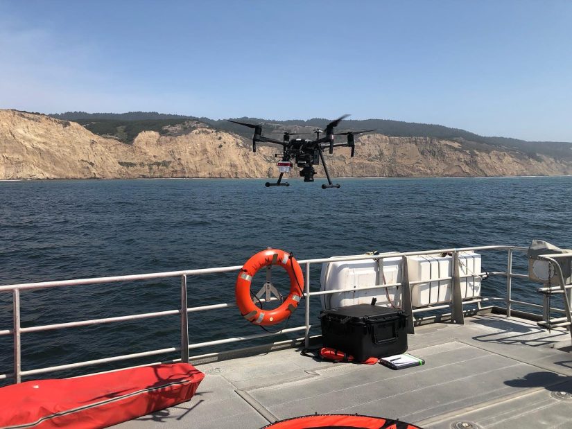
Since then, research has expanded and we’ve done a lot of work on the California Coast, especially during COVID when you couldn’t have divers or numerous people conducting research. I’ve worked on marine sanctuaries, estuaries and intertidal zones.
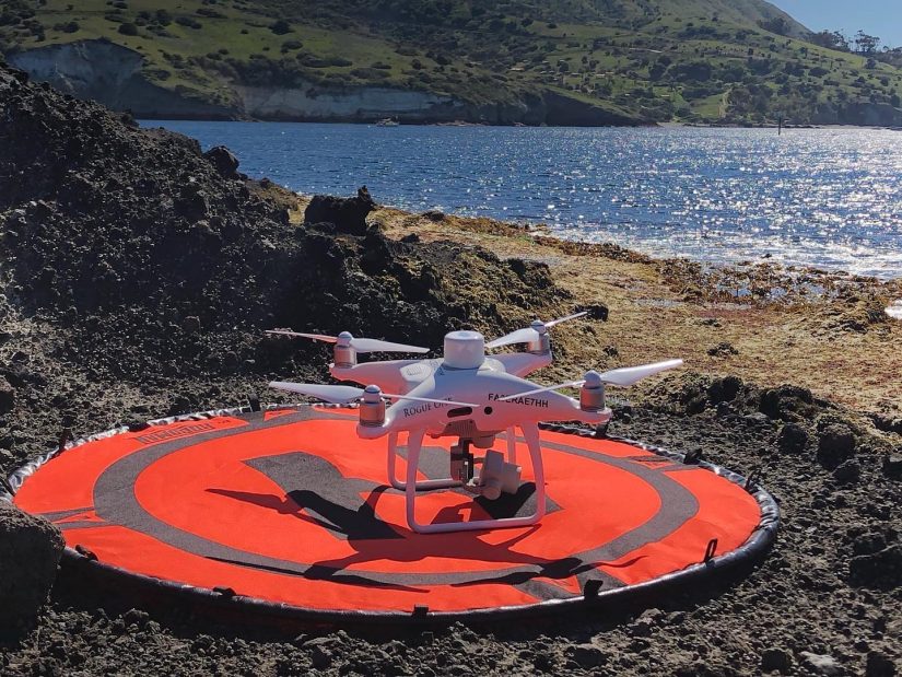
I have new grants that I will be transferring to UW working with the Monterey Bay Aquarium Research Institute, Stanford and Santa Cruz that involves spatial ecology, understanding spatial processes and habitat complexity in the coastal environment. Drones are also really useful for mapping to help shed insight into spatial management for various areas like forests, marine wildlife, public safety tools and habitat restoration.
For me, drones are so useful in so many ways, including in ways people don’t often consider. I look at them from a DEI perspective and the technology opens up so many opportunities for those who might not be engaged in marine science because they feel like they don’t fit the traditional mold of a marine scientist. These barriers can involve cost, accessibility, diversity and other things. Drones can help break down some of those barriers.
For me, drones offer a different way to do science and research and create opportunities for those not feeling engaged. There are people out there who can’t swim, who can’t scuba, but who can still do marine science. Drones can also complement virtual opportunities where data can be sent back to people in an office or at home, and this fully integrated team benefits from both people in the field and those who are analyzing it in a different place.
I’m looking forward to new training and engagement models to continue increasing and enhancing these opportunities through drone technology and marine research to increase accessibility from a DEI perspective.
We have to ask – where is your favorite place to fly a drone?
I would definitely say Bamfield, British Columbia which has classic PNW views and is a stunning island area. The other is Catalina Island in California where I fly drones twice a year for research.